Spain’s southern province of Andalusia contains not only some of Europe’s most diverse cultural and natural sights, but also the country’s highest mainland peak Mulhacén and its surrounding Sierra Nevada mountain range. This is paradise for lovers of hiking, diverse landscapes and good food!
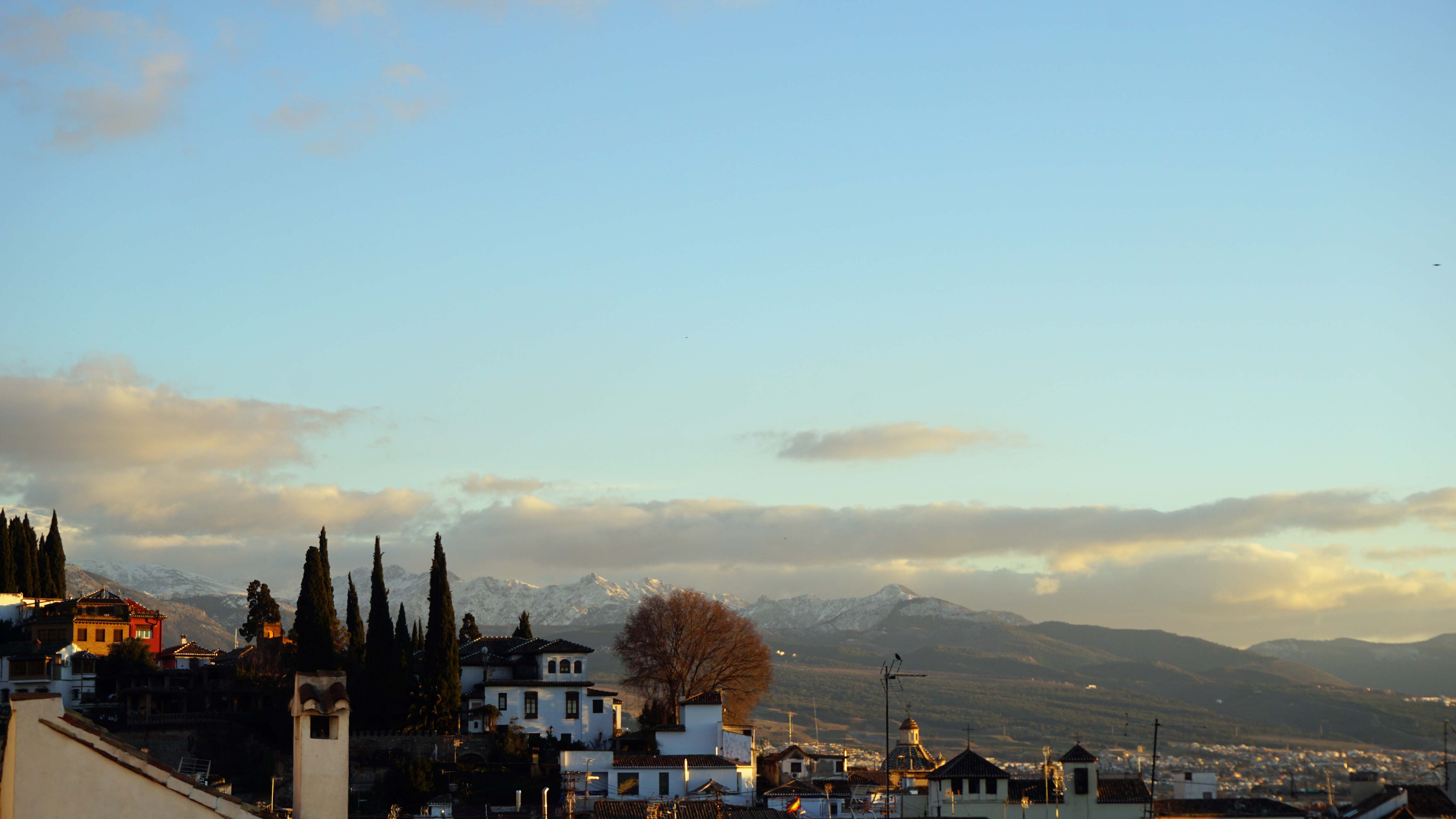
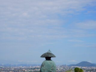
After my trek across the Tabernas desert I made my way to Granada to slake my thirst and immerse myself in this vibrant city famous for its food culture, Islamic architectural influences and being the birthplace of the ‘true’ Flamenco. It also made an excellent staging point for my plans to go hiking in the nearby Sierra Nevada mountain range which can be seen from almost any point in the city, its snowy peaks holding promises of coming adventures.
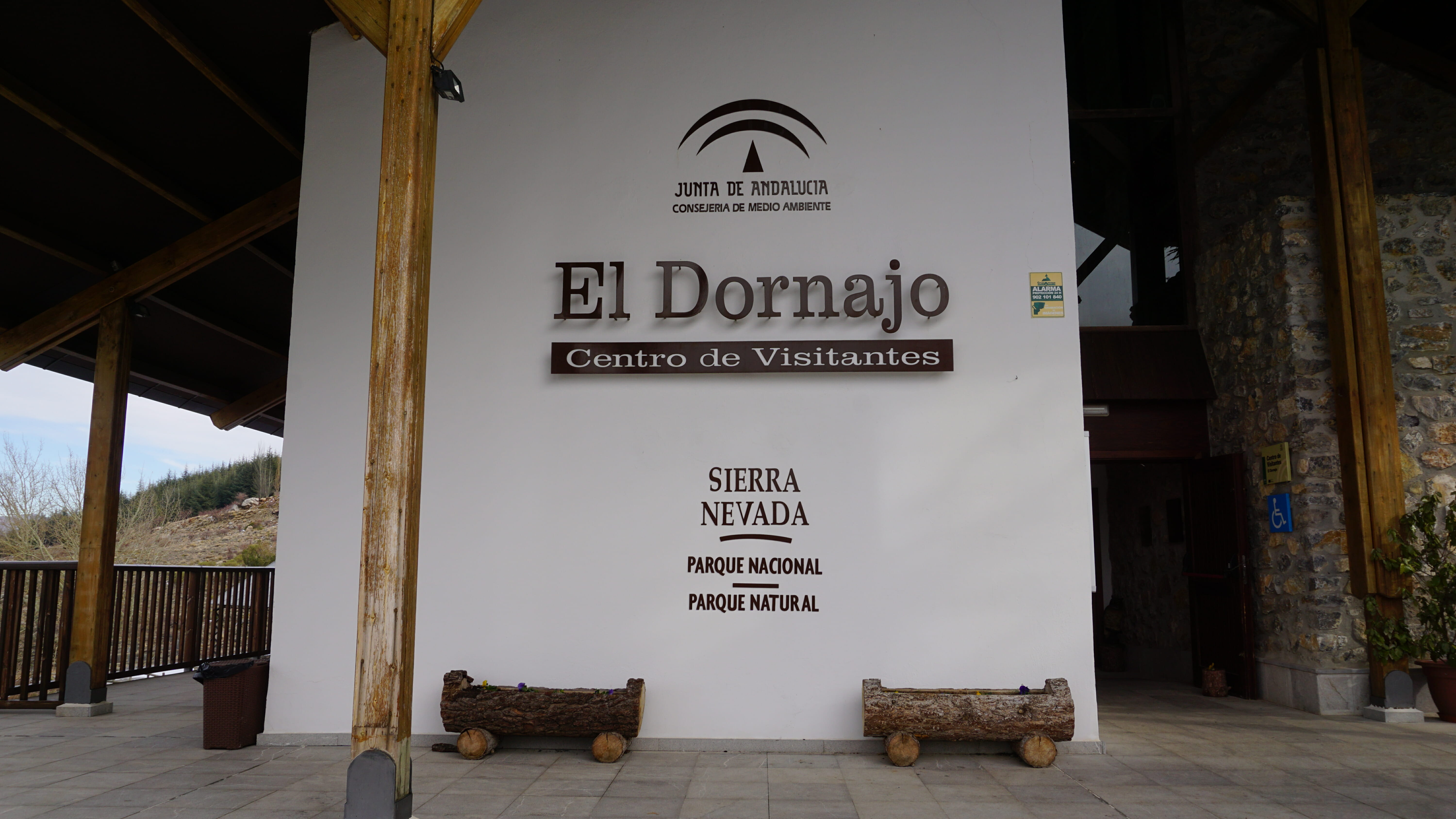
The Road to El Dornajo
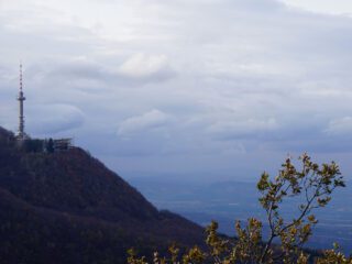
After spending a few days taking in the city’s atmosphere and gathering supplies (remember the word ferreteria, thank me later) I took the no. 390 bus to the village of Pinos-Genil, nestled in the foothills of the Sierra Nevada. My goal was the visitor centre at El Dornajo, some 1500 metres upwards through sun-soaked hills covered in olive trees and almond plantations. This centre marks the spot where the GR240 ‘Sulayr’ long-distance trail both starts and ends, its length of nearly 300 kilometres (186 miles) encircling the entirety of the Sierra Nevada National Park.
The footpaths that lead up through these hills are not really connected all the way to El Dornajo, so be aware that you might need to hike stretches of highway for a few kilometres! I cheated a bit and hitched a ride to the visitor centre. Hey, safety first right?
The GR240 ‘Sulayr’
I was going to meet the trail’s starting point at its altitude of 1670 metres and follow the GR240 over the course of a few days, crossing the western slopes of the Sierra Nevada. Then, as the trail would bend eastward into the southern Alpujarras region I would leave the trail and end my hike in the town of Órgiva. This route would take me across the GR240’s rough first stages, ranging between altitudes of 1100 and 2100 metres.
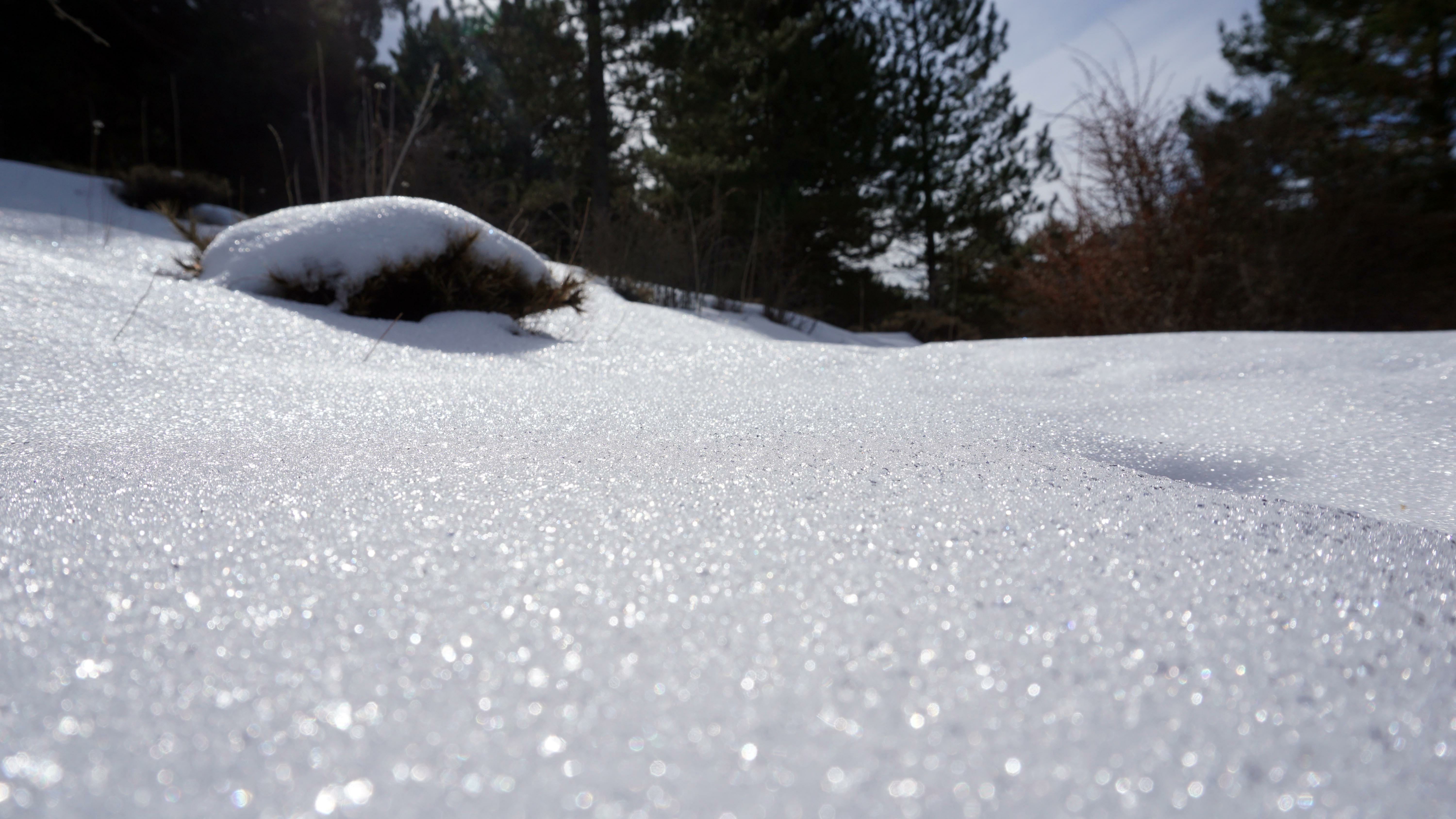
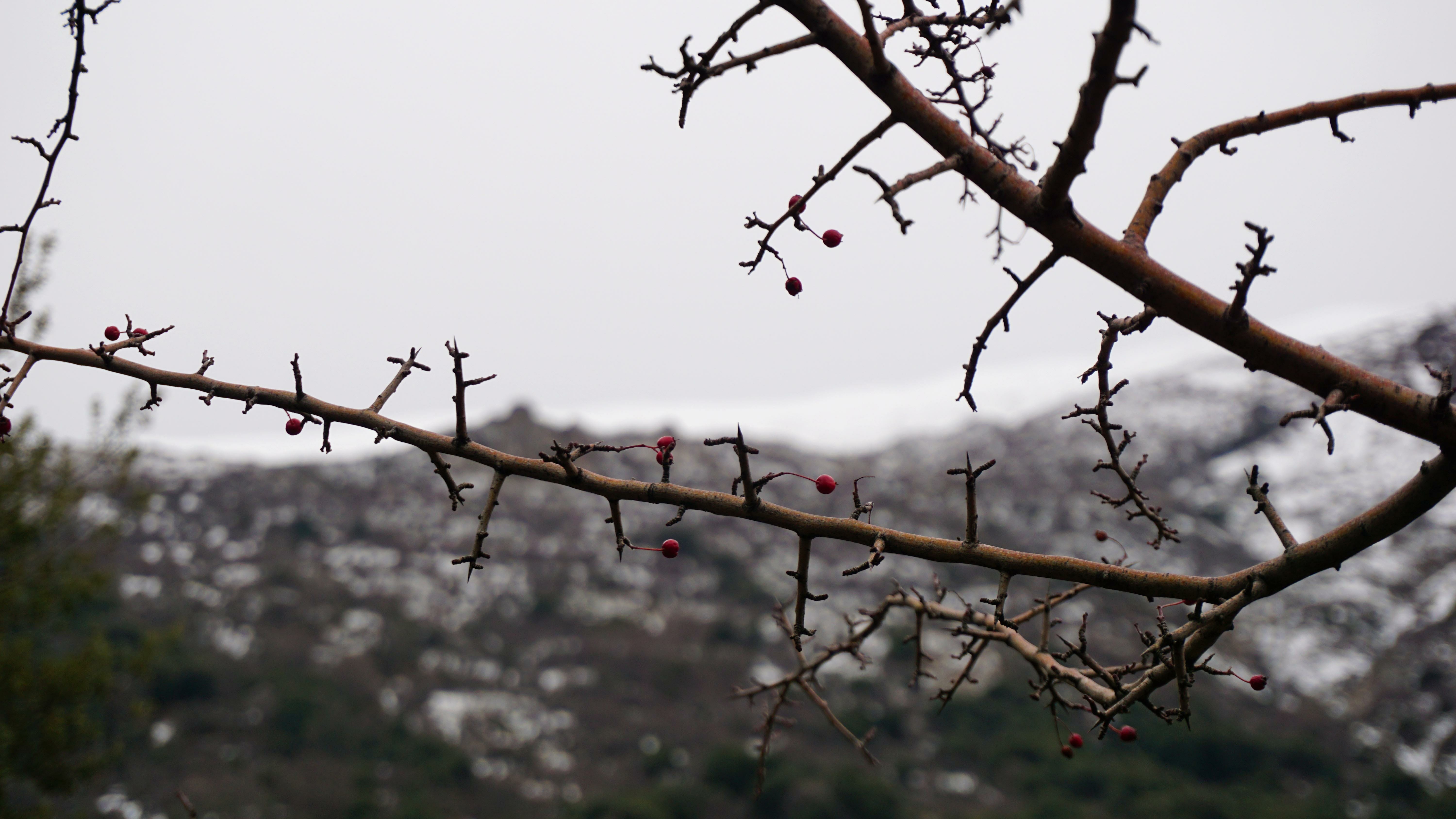 The winter weather had been mild so far, causing most of the snows to melt on the lower altitudes. When I did encounter snow it had melted and later frozen again, leaving a treacherous layer of ice that looked just crunchy enough to provide false support. As soon as I hit altitudes above 1500 metres the trail would disappear beneath a thick layer of powder and to find my way here I mostly had to rely on animal tracks. On previous hikes I often had deer tracks to lead me towards traversable ground, this time a fox showed me the way.
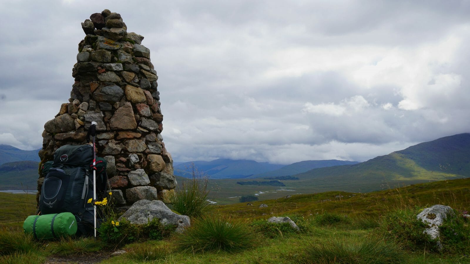
 The first stages of the GR240 ‘Sulayr’ take walkers up and down a series of canyons formed by streams and rivers running down the Sierra Nevada’s western slopes. This makes for a first few days with significant elevation differences. The winter conditions impact your walking speed as well, so plan your hike accordingly!
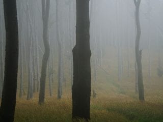
After climbing the side of Cerro del Mirador on the second day, the trail left its steep slopes to gently descend into pine forest while making its way to the botanical gardens at La Cortijuella. By this point the trail had appeared from under the snow again. The fox’s tracks were still leading me on for a while, as if to reassure me I was really going the right way. The familiar smell of pine trees reminded me of home as I continued on towards a refugio, a mountain hut that was to be my shelter for the night.
Schrödinger’s Truth
One constant in travelling through Spain and dealing with locally provided information is this: until you are able to confirm something with first-hand experience, any information provided by locals is simultaneously both true and false. This means that until you can get the information confirmed by at least three sources you shouldn’t really rely on it.
Not that locals will purposely give you false statements on a subject. More often than not things just get lost in translation, with locals sometimes not confident enough in their level of English to provide you with all the details on a certain subject. Or sometimes they don’t know enough on the subject to give you a straight answer but will still try to give you any answer so as not to come off as inhospitable. Also, Andalusian culture is quite laid back, to say the least. So maybe that friendly local is simply trying to make conversation and not trying to explain the intricacies of seasonal availability of mountain shelters.

This I found out the hard way when I tried the iron door of the refugio. Which was, of course, locked shut in spite of what the employee at the El Dornajo visitor’s centre told me. To anyone who ever asked me why I haul around my tent everywhere: this is why.
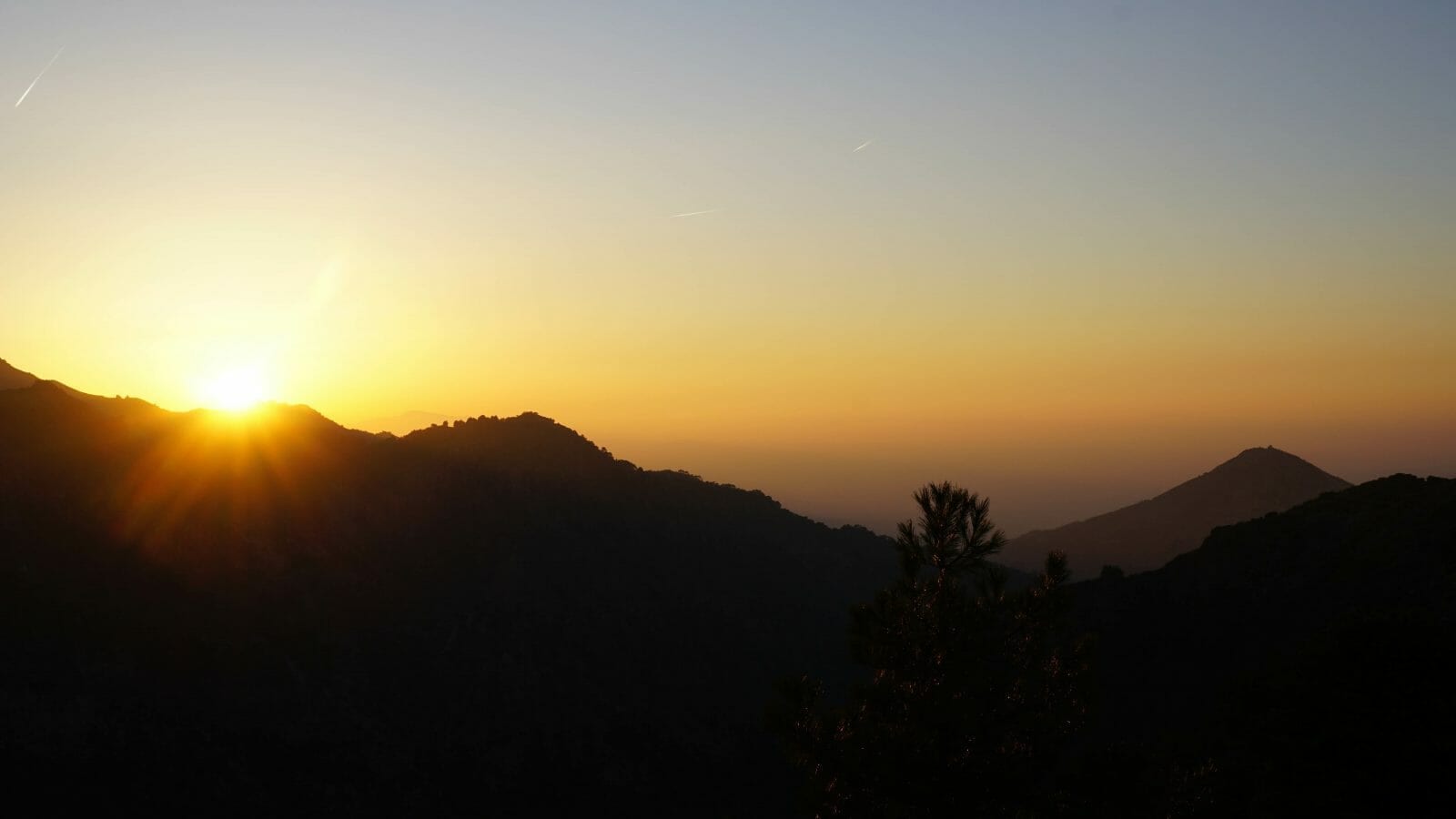
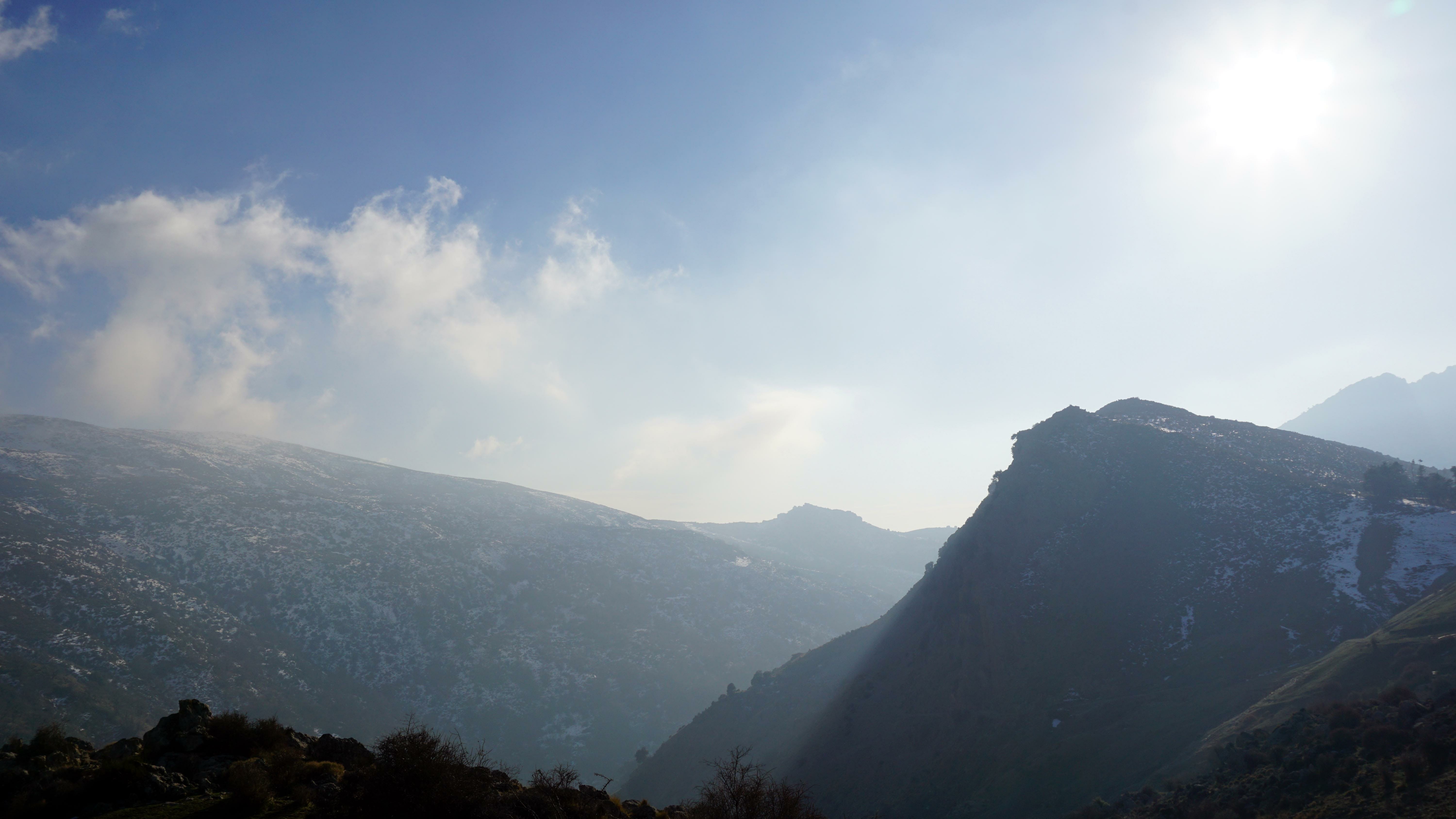
The Mountains of the Sun
Early in the morning on the third day I retraced my steps for a few kilometres to reconnect to the GR240 trail. Once the trail gained some altitude again it straightened out and led me along an even path with mesmerising views of the valleys below. I walked most of it in the snow, but the sun gave off a comfortable temperature. I found my wool sweater was enough to keep me warm at this altitude, much to the apparent amazement of the few Spanish hikers I encountered, decked out in full polar gear. Just one of those Southern European things, I guess.

When the Moorish conquerors invaded the south of Spain in the 8th century, they quickly encountered these mountains on their way north. They named them Sulayr, or ‘Mountains of the Sun’. I get why the GR240 refers to this old name: even in winter there are stretches of trail where it feels more like you’re walking in spring, with the sun shining warm and bright above. While wandering among green bushes and trees only the snow on distant peaks reminds you of the proper season.
The Green Alpujarras
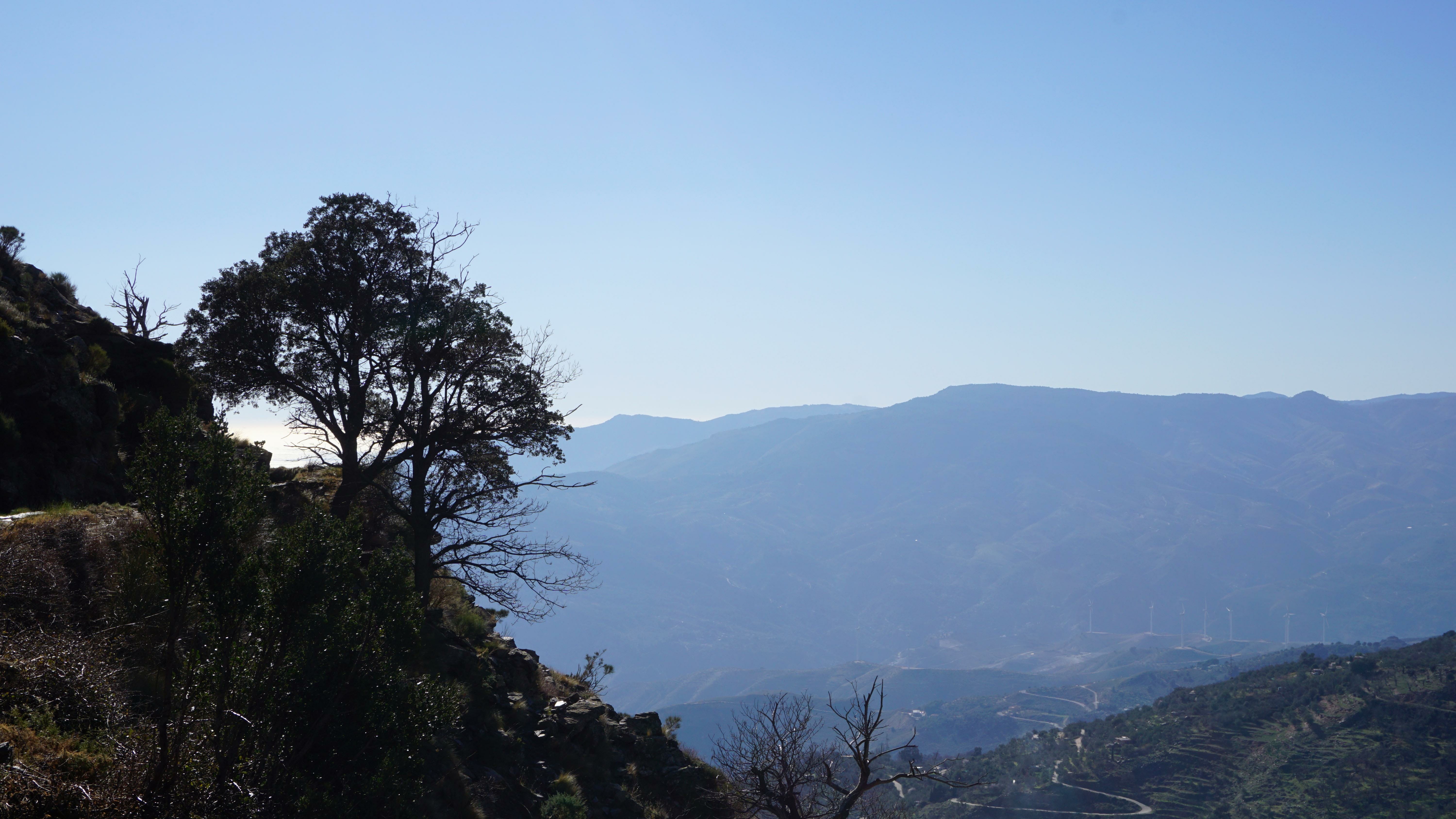
This sense of confusion continued for a while as I followed the trail for the next day-and-a-half. Where one side of a hill would be facing north and catching the cold winds and snow, the other side would be facing south, towards the sun and warm winds of the Mediterranean coast. I would be walking and sliding over patches of half-frozen ice and snow for a few hours, before catching the sun on the other side and wondering whether or not to take off my sweater and change into a t-shirt.
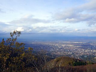
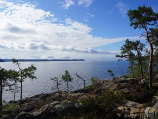
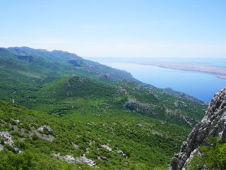
All the climbing and plowing through snow and ice the past few days was finally paying off. The trail stayed at altitude while skirting the southwestern slopes of the Sierra Nevada. The wind started to carry a hint of salt as the Mediterranean Sea slowly came into view. Scattered pine trees seemed to creep up from the lower altitudes, replacing the shrubs and coarse vegetation defying the snowy conditions of the past days. Not that there was any hint of snow or ice in these parts anymore; in mid-January, summer had come.

Here the trail enters into an area known as the Alpujarras, hugging the southern slopes of the Sierra Nevada. Although this side of the mountains faces the scorching summer sun, the runoff from the winter snows keeps this area green and fertile throughout the year. And as I found out, even in winter the sun turns these parts into the equivalent of a nice Northern European summer.
Una Ducha Caliente
Even though the GR240 ‘Sulayr’ continued on for many more kilometres, I had run out of time. I left the trail at the Tello forestry refuge and made my way down to the valley below. This led me along a stretch of woodland recovering from a large forest fire that raged a few years prior and through an artist commune built in the local fashion, with houses seemingly dug into the hills.
Eventually I reached the town of Órgiva, an island of white plaster in a sea of green hills covered in olive trees and grapevines. The nearby campsite proved a welcome end to this hike, as it provided me with the three things I craved most: a hot shower, a cold beer and free tapas with every drink!
I love Spain.
Looking for more inspiration on hiking the Sierra Nevada?
Check out this article (featuring yours truly) to learn more about hiking in the region!

1 comment
Wel written and very inviting !